TOUCHWOOD HILLS PROVINCIAL PARK, SASKATCHEWAN
by: Charles O’Dale
- Type: Multi ring basin?
- Location: N 51° 20’ W 104° 02’
- Age ma: >541a pre-Cambrian
- Diameter: >200 km
a Dating Method: Impact before the deposition of the Williston Basin.


Williston Basin is a large intracratonic sedimentary basin in eastern Montana, western North Dakota, South Dakota, and southern Saskatchewan. The basin is a geologic structural basin but not a topographic depression. The oval-shaped depression extends approximately 475 miles (764 km) north-south and 300 miles (480 km) east-west.
The Williston Basin Deposition of sediments began during Cambrian time, but subsidence and basin filling were most intense during the Ordovician, Silurian, and Devonian Periods.

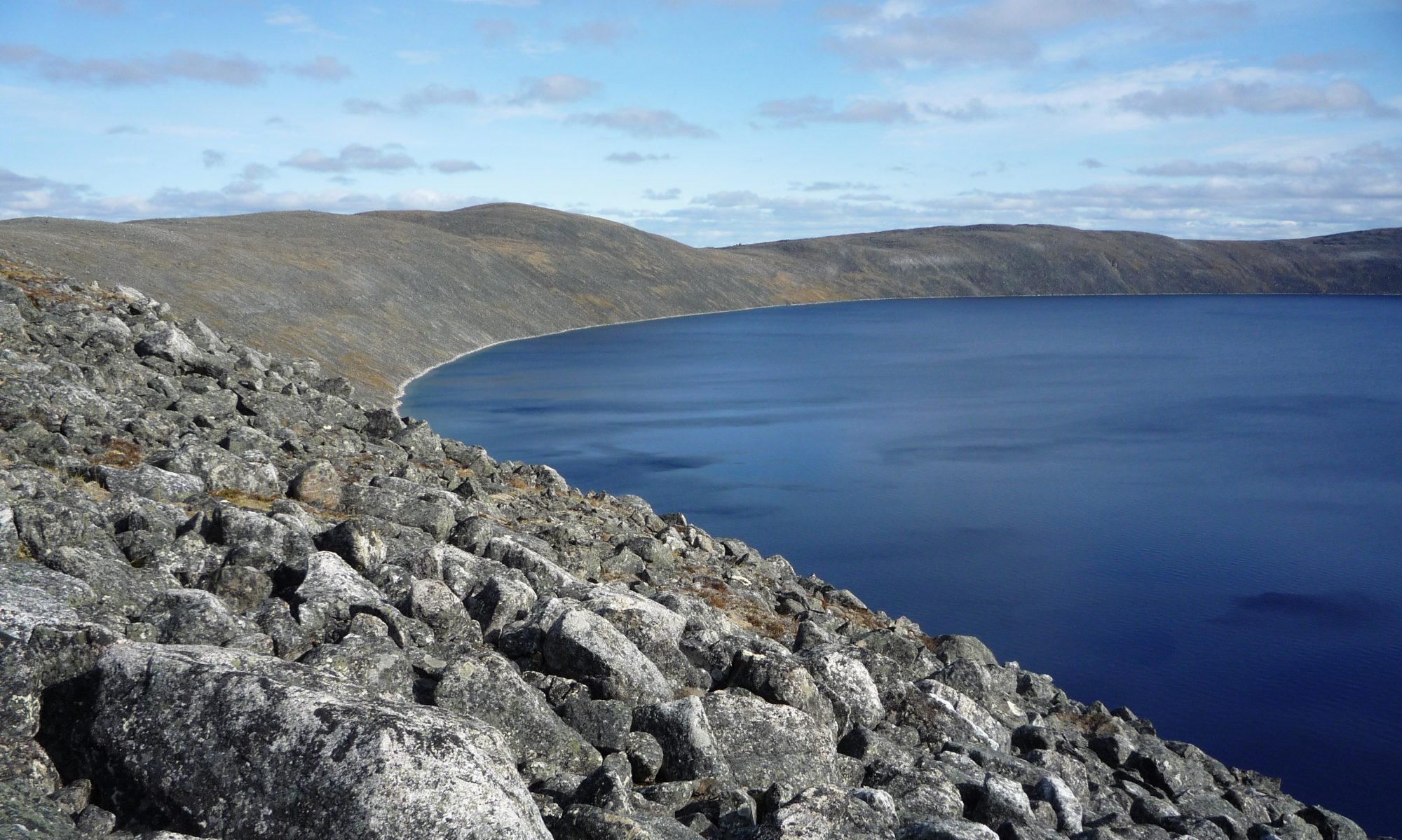
The Touchwood Hills Provincial Park in Saskatchewan is a circular structure that is potentially the result of a cosmic impact. The RADARSAT image (left) indicates a definite circular structure >200 km in diameter. On the west of the structure is Last Mountain Lake and to the north is Quill Lake, positioned on the possible crater rim. Last Mountain Lake, also known as Long Lake, has an arcuate form situated over the possible west rim of the Touchwood structure. It is a prairie lake formed from glaciation 11,000 years ago, adjacent to the Qu’Appelle Valley approximately 93 km long, and only 3 km wide at its widest point. The larger Quill Lakes are situated on the northern rim of the structure. The image of Lake Agassiz (image right) illustrates a possible “annular moat” similar to that at the Manicouagan Impact Crater.

References
[see – METEORITE]
Brent Dalrymple, Radiometric Dating Does Work! Reports of the National Center for Science Education
Grieve R.A.F., Robertson P.B., IMPACT STRUCTURES IN CANADA, the Journal of the Royal Astronomical Society of Canada, February 1975
Gibson, R.I., 1995, Basement tectonics and hydrocarbon production in the Williston Basin: An interpretive overview: 7th Int’l. Williston Basin Symposium, 1995 Guidebook, p. 3-11