BEAVERHEAD – LAKE MISSOULA
by: Charles O’Dale

Millions of years after the Beaverhead impact event, during the 25,000 to 10,000 years ago glaciation, most of Canada and parts of the northern United States were covered by massive ice sheets.

These glaciers were estimated to have had a maximum thickness of 2 to 4 km (1.2 – 2.3 miles).

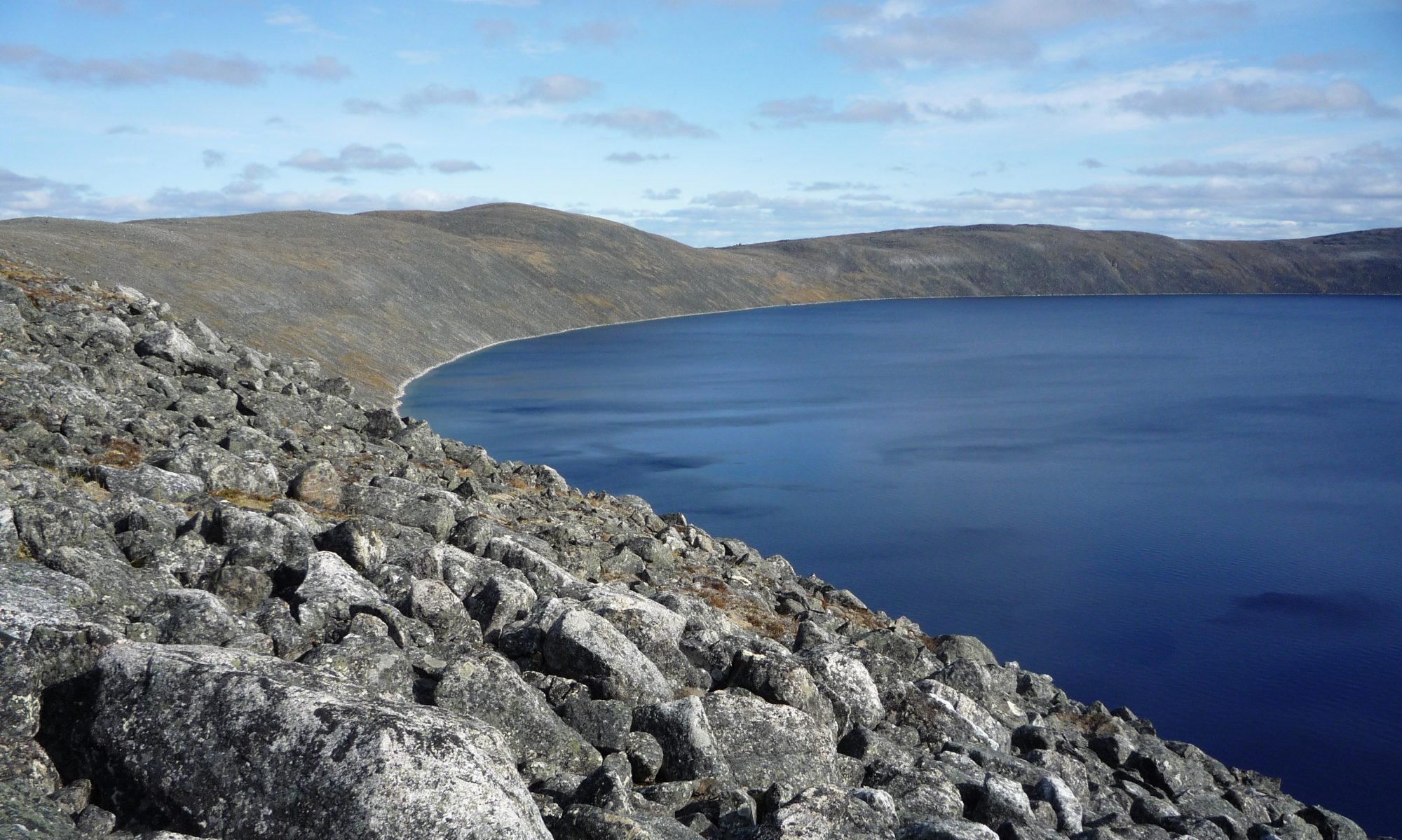
These glaciers dammed the Clark Fork River creating Glacial Lake Missoula just north of the Beaverhead impact structure.

The water began to build up behind the 760 metre (2,500-foot) ice dam and filled the valleys to the east with water, to the size of Lake Erie and Lake Ontario combined. The water continued to rise until it reached its maximum height at an elevation of 1300 metres (4,200 feet).
As the water rose, the pressure against the ice dam increased. The ice dam failures occurred when the water reached a depth of 2000 feet. The water pressure caused the glacier to become buoyant, and water began to escape beneath the ice dam by carving sub-glacial tunnels at an exponential rate. The ice dam eventually collapsed several times causing the Glacial Lake Missoula to empty catastrophically at 130 km/hr (80 miles per hour).

The Lake Missoula (Camas Prairie) ripples were formed by the mighty currents associated with the colossal emptying of Glacial Lake Missoula. Glacial Lake Missoula filled and emptied about 40 times during a 2,000 year period.
Ripple Specifics:
Wavelengths 27-290 m, with a mean of 82 m (90 to 951 ft – 270 ft);
Height 0.3-17 m, with a mean of 4 m (1 to 57 ft – 12 ft).

The glacial lake outburst floods were the result of periodic sudden ruptures of the ice dam on the Clark Fork River that created Glacial Lake Missoula.

After the rupture, the ice would reform, creating Glacial Lake Missoula again.

The channeled scablands were scoured by more than 40 cataclysmic floods during the Last Glacial Maximum and innumerable older cataclysmic floods over the last two million years. These cataclysmic floods were repeatedly unleashed when a large glacial lake repeatedly drained and swept across eastern Washington and down the Columbia River Plateau during the Pleistocene epoch. The last of the cataclysmic floods occurred between 18,200 and 14,000 years ago.

The Dry Falls cataract complex is on the northern end of Lenore Canyon. According to the current geological model, catastrophic flooding channeled water at 130 km/hr (80 miles per hour) through the Upper Grand Coulee and over this 120 metre (400-foot) rock face at the end of the last ice age. It is estimated that the falls were five times the width of Niagara, with ten times the flow of all the current rivers in the world combined.
REFERENCE
CATASTROPHIC FLOOD FEATURES AT CAMAS PRAIRIE, MONTANA
DEPARTMENT OF GEOLOGY AND GEOLOGICAL ENGINEERING COLORADO SCHOOL OF MINES GOLDEN COLORADO 2009